Bergen to Oslo: Crossing Hardangervidda
& finishing Norway
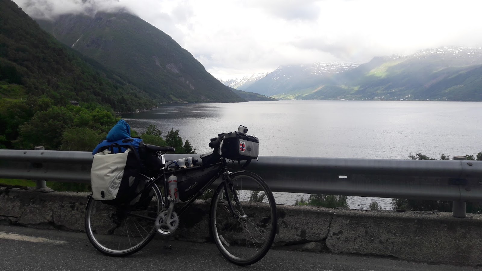
Bergen to Kvanndal - Total Washout
Day 24 of riding | 88 miles | 142 km | Ascent: 1,162 metres
I knew if I did Bergen to Oslo in 3 days, they would have to be quite big mileage. The priority was therefore on early to bed, & early starts. Classically I left Bergen much later than planned: my blog seems to be taking an overwhelming amount of my time, ha, so I quite appreciate that it's actually being read - thank you! However, I can't stress enough how being behind schedule really affects you psychologically. Today would be the shortest of the three big days, so an opportunity to arrive early eve & get lots of sleep, but I also had 2 ferries to catch later in the day, which amounted to an hour's crossing time, plus 30-60 minutes waiting time if I just missed one.
Public loos offer a break from being soaked.....
Leaving the Bergen suburbs
Bueno, as they say in Spain, back to it. So I left Bergen via a route recommended by my host's cycling boyfriend,which I happily followed to avoid the nasty E roads & their recurrent illegal for cyclist signs!
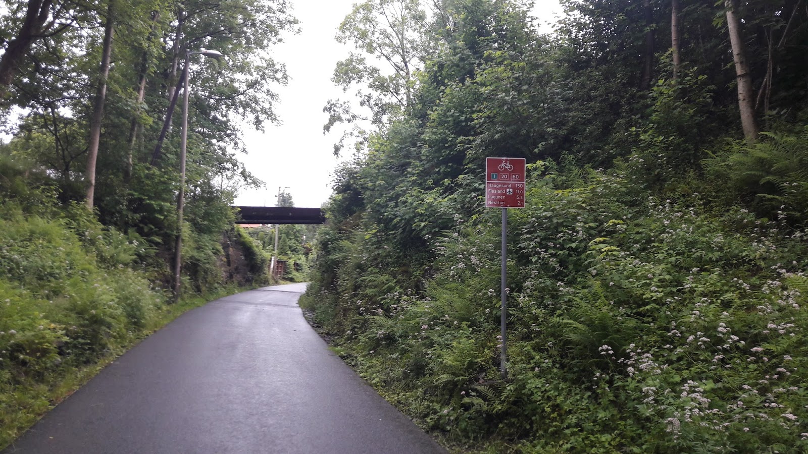
Impressed with the cycle routes & signs here
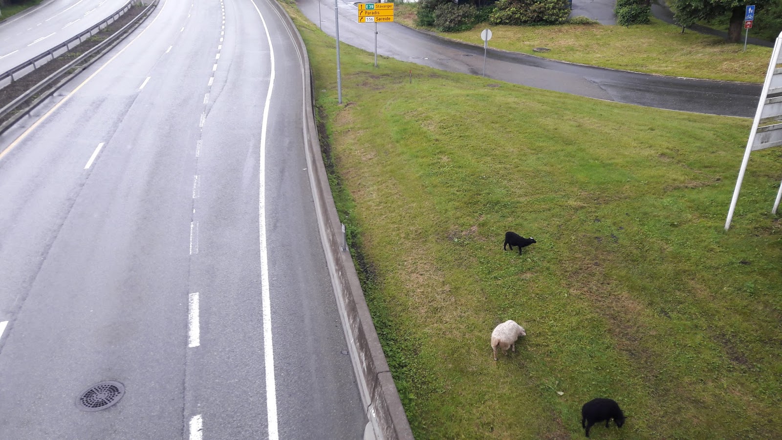
City-farmed sheep eh?
20 miles down, & I realised this was a much larger diversion than I'd anticipated: adding an extra 20 miles to my 'shorter' day, damn!
Then the heavens opened... it felt like thousands of buckets had been teetering on the edge, then they abruptly dropped all their contents over the land beneath them ( & the unfortunate cyclist who lay under their radar all day).
No, this isn't the rain I had. Pretty close to it, though!
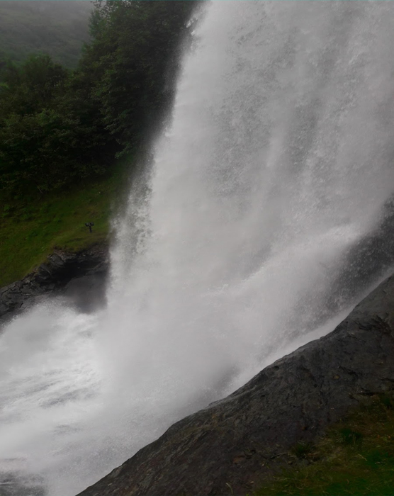
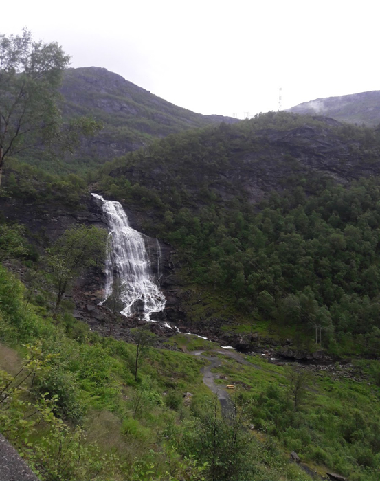
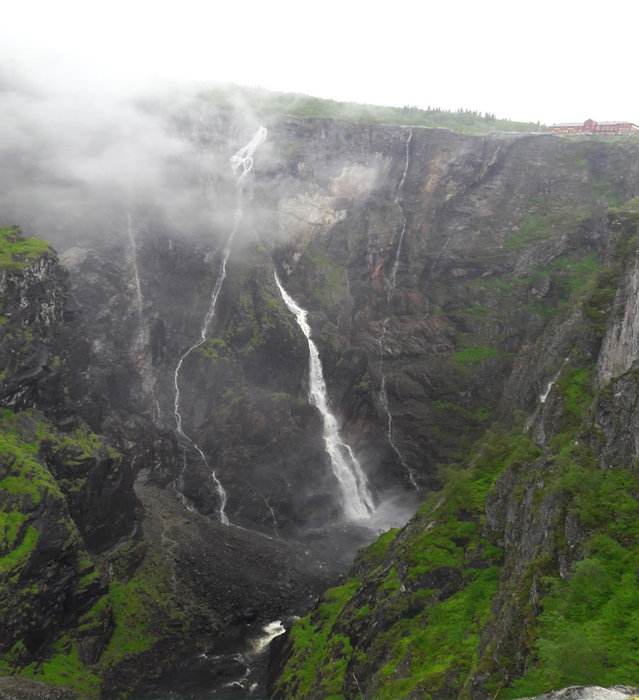
At least waterfalls are even better after rain
It was so heavy for so long that seeing anything was very difficult, & all my 'waterproofs' soaked through. At one point, my left hand, already weakened from nerve compression, got so numb with the wet coldness that I couldn't even change gears! That was quite a funny yet unfortunate situation: I would be reaching over with my other hand to press the shifter, thereby causing my heavily laden bike to become unbalanced & start swaying on the busy poorly visible road. Hmm! Anyway thankfully it was only my left hand, so not the side with the most required gears, & I could still use my brakes, so it wasn't that bad.
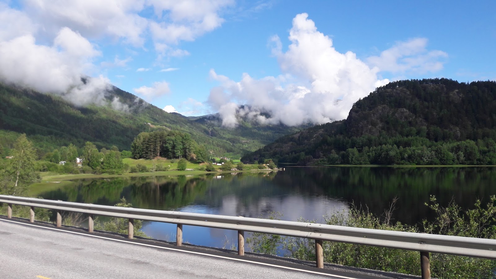
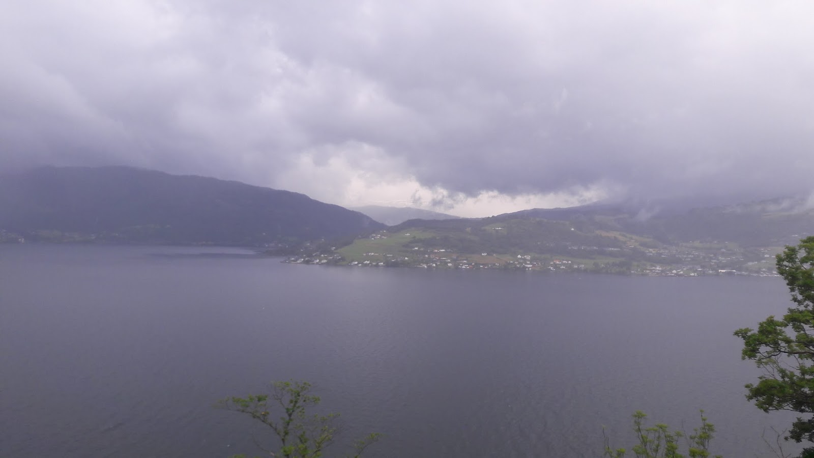
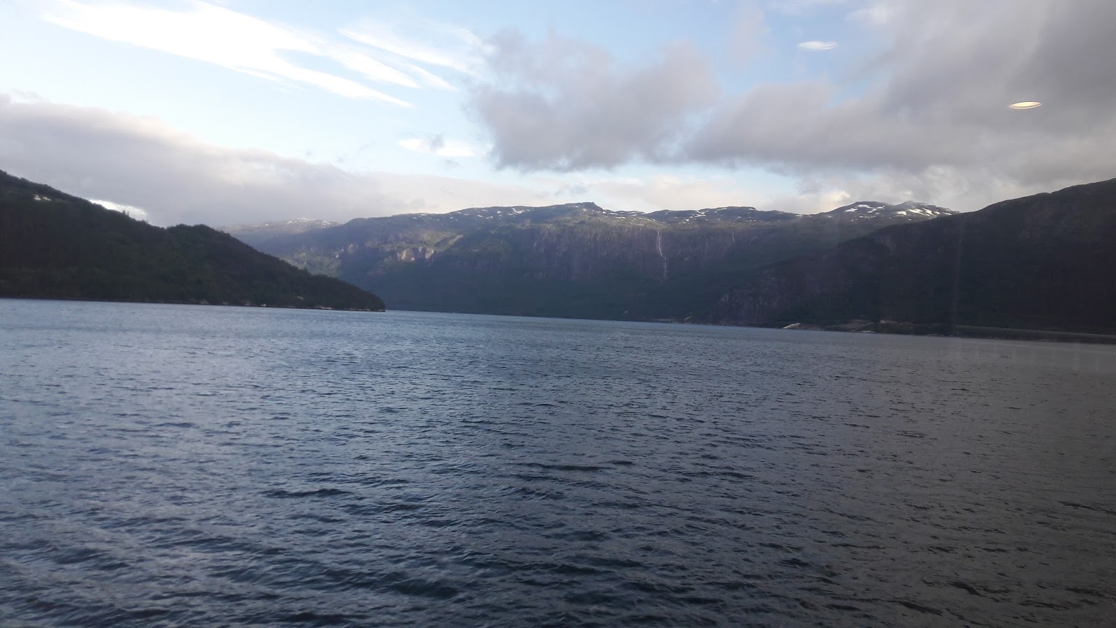
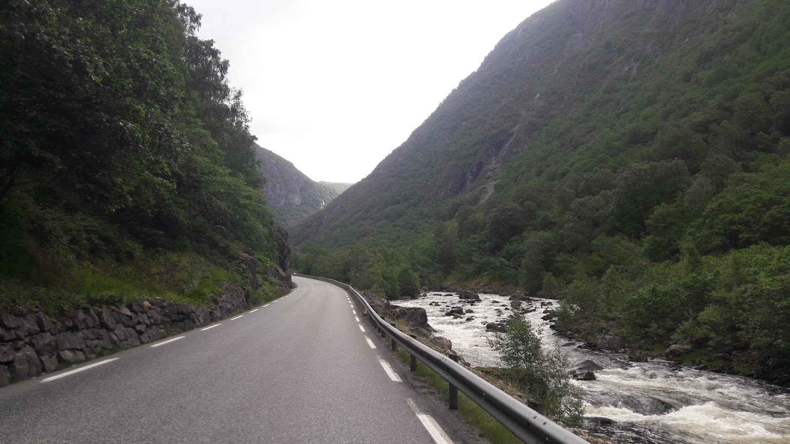
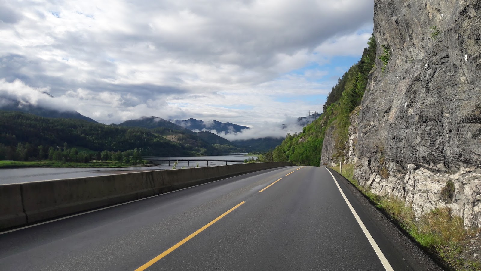
Seeing the Hardangerfjord road in different conditions
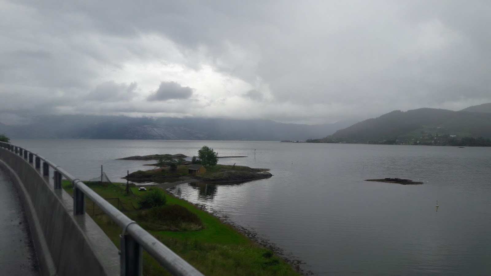
It soon got to 1830 & I realised I could hopefully make a 1900 ferry! Although I would be continuing in this downpour & arrive late into the night... before a 100+ mile day tomorrow (sorry for the palpable negativity).
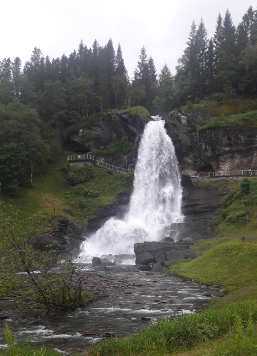
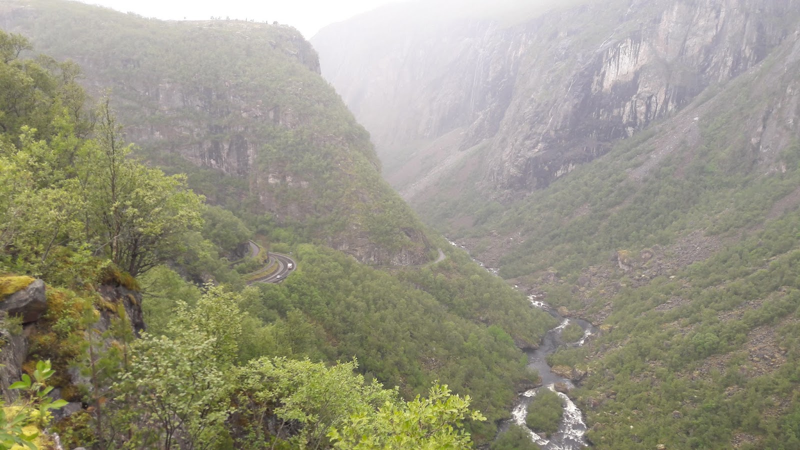
Fossen Bratte
Arriving at the ferry terminal, the display showing the destination names had a blanked out bit over the place I needed to get to.... it's no longer a direct ferry, & I'd missed the last change. The online timetable I'd found was incorrect.
I looked across the road, & miraculously facing me was a campsite, with an OPEN cafe, that was to close at 1900. AHH!
I for once treated myself to dinner, & decided if I got to bed by 2100 I could be up at 0445 to catch the first boat. And then tomorrow I'd have plenty of time, & it would be a good day.
Kvanndal to Gol
Day 25 of riding | 106 miles | 171 km | Ascent: 1,980 metres
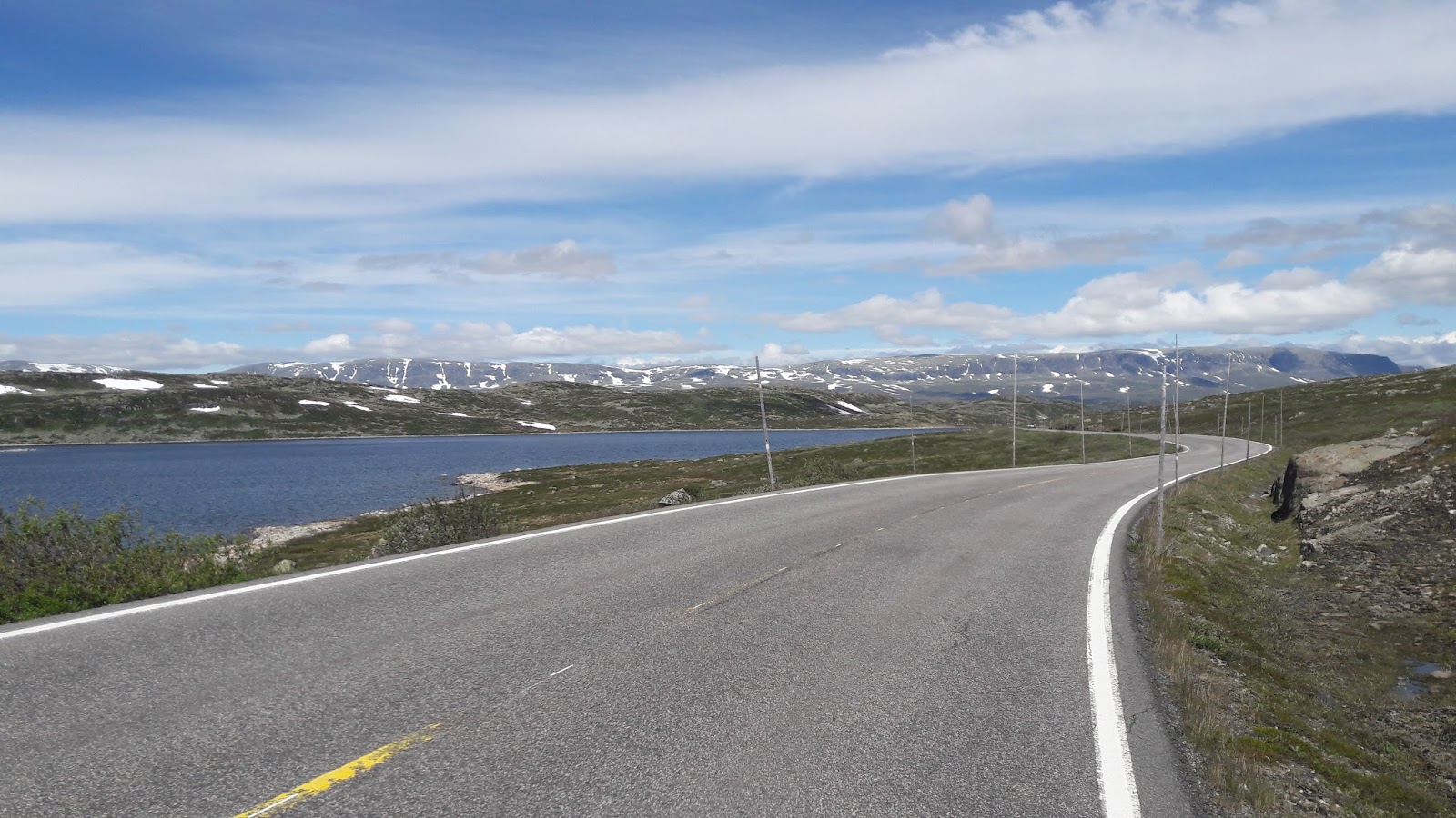
A cracking day of crossing Europe's largest mountain plateau: Hardangervidda
I managed my disgracefully early get up, & caught the first sailings of both ferries! Proud moment. So I was off from Kinsarvik at 0715, towards my goal of the day: Hardangervidda.
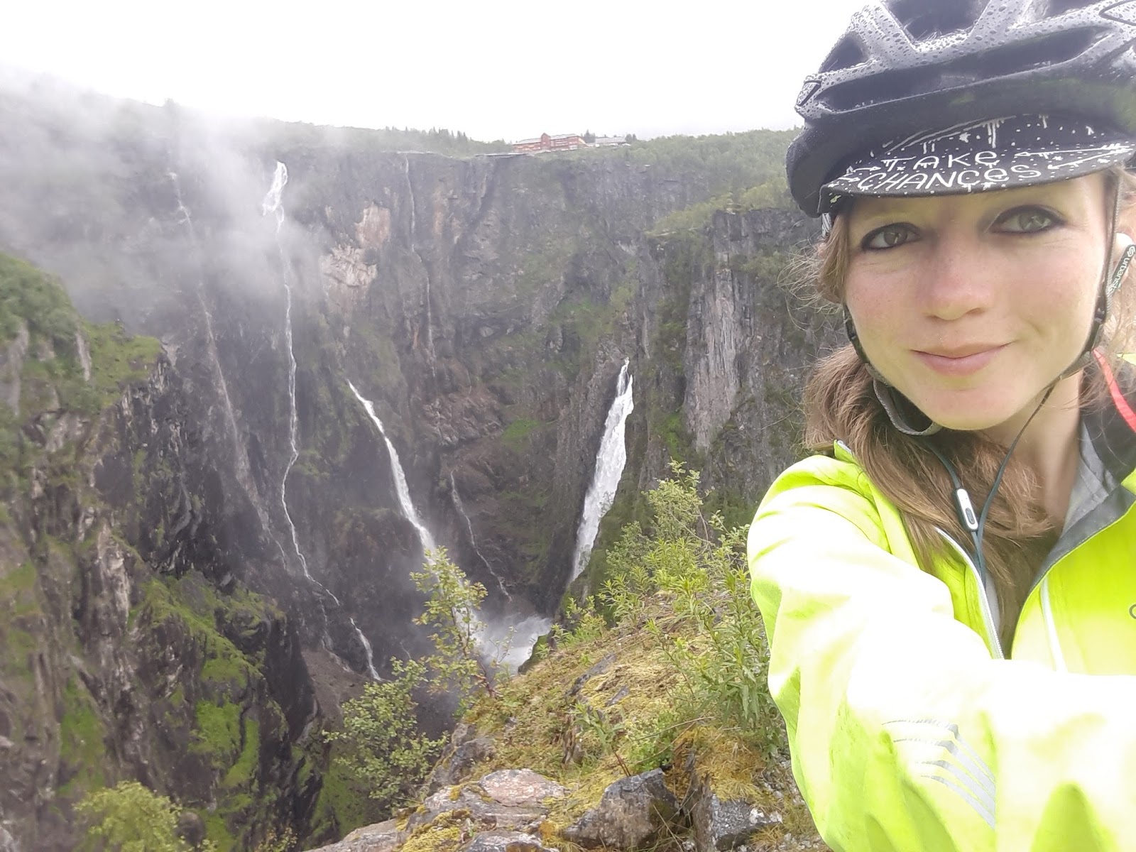
Voringfossen
After a brief rain shower, it became a relatively dry & peaceful morning as I weaved around the coastline-hugging road. 20 miles later I approached the town that should have been yesterday's destination, Eidsal.
The awesomely decorated trees into Eidsal...
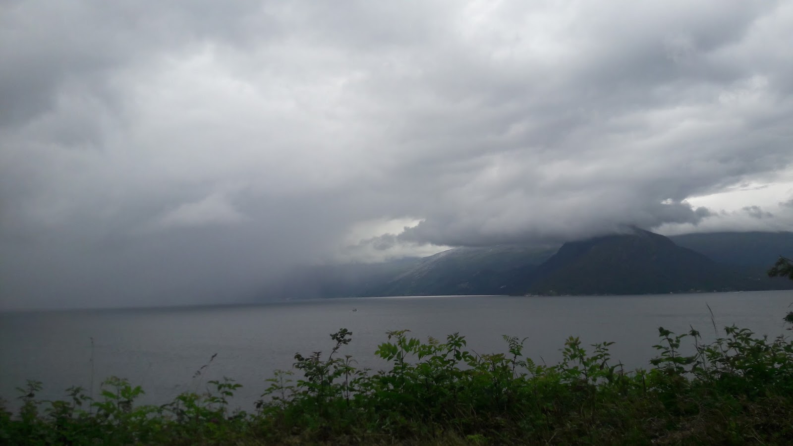
The sky looked heavy over the lovely Eidsalfjord, & it began to release some of its anger.
Eidalsfjord...
I was hungry already; so devoured a quick second breakfast, coffee, & bought plentiful snacks & water for the long day ahead.
The first road sign said "Geilo 92km", which would pretty much be my next stop, wow this plateau is going to be massive! I then clocked a warning for cyclists/walkers that a cycle path was closed in 15km due to a landslide. Hmm... this would probably mean either risking the path, or going through an illegal tunnel... I obviously continued regardless, to broach the problem when I to it.
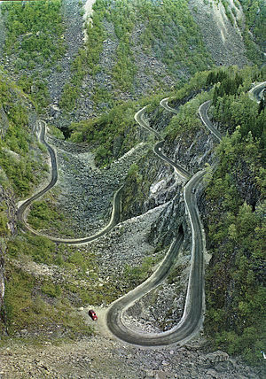
The climb started beautifully, the steadily increasing gradient winding around wild green hills & cliffs, & your ears soaked with the sound of rushing water. Cyclists are then guided to a path that follows a similar course to the road, albeit quite a bit steeper (why do they always do this!?) - thankfully as my knee isn't so bad these days I could stand out of the saddle.
Aerial view of the cycle path up (the old Mabodalen road)
I reached probably my last spectacular waterfall of Norway: Voringfossen. This is formed of two very tall falls, 182m in height.
Oh no, here was the closed Mabodalen cycle path. Sitting next to the tunnel with the most hated of all signs at its entrance. An impulsive 2 second judgement call between how serious a landslide it could be vs taking the tunnel, & a decision was made.
On the other side...
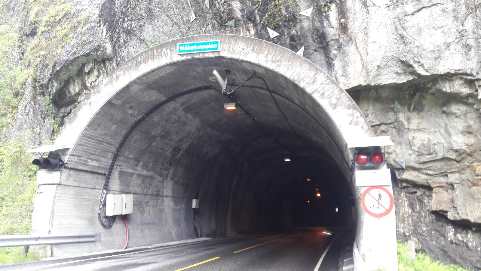
With no distance marker outside the tunnel (they can vary from 300m in length, to as much as 24km/15 miles - I kid you not!), I headed into the dark unknown. Illegal tunnels tend to be darker (not that I have much experience of course), & about 1/5th of this one had no lights at all. This makes it pretty scary as you'd just need one pothole & you could be off your bike & under a vehicle.
Fortunately my light worked well & the tunnel wasn't that busy, the unknown length however & the fact it was steeply uphill in the dark meant that it wasn't a pleasant 15-20 minutes. I'll treat myself with a bite of chocolate, after this I thought!
DAYLIGHT & FRESH AIR TO BREATHE, thank you Lord!
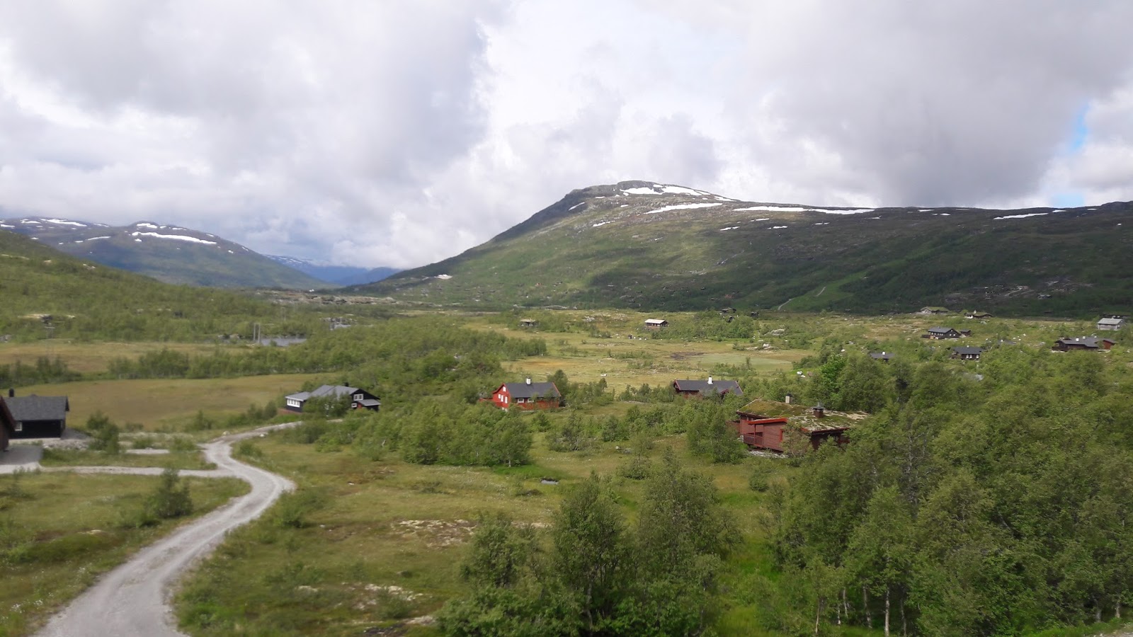
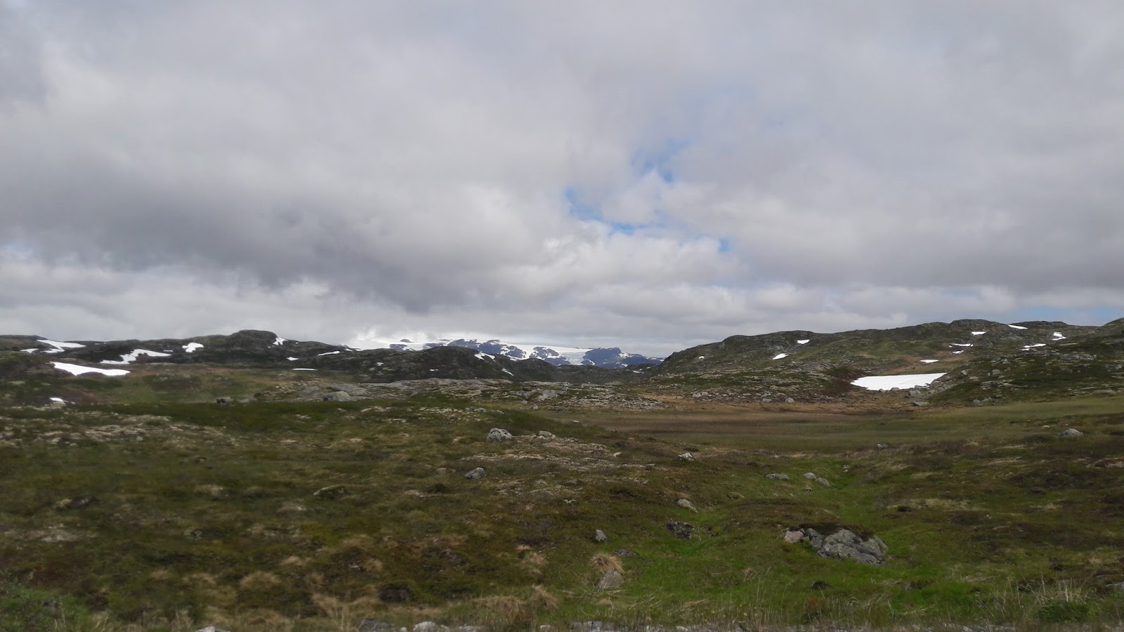
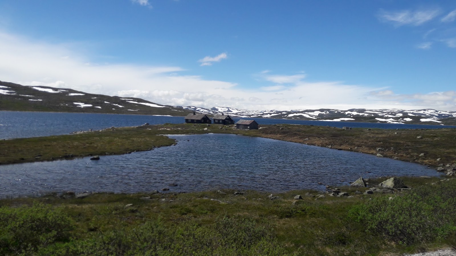
Eventually I rejoined the main road & realised I was already at 750m of height - that wasn't so bad! Gently the road curves around further hills, looking out over the increasingly barren & now moorland-like landscape. Snow-topped mountains are visible afar, & I could even see a few glaciers. a tiny part of me wished that I could allow myself time to explore & visit them, but my extreme & rigid cycling schedule unfortunately won't allow that.
I actually spent most of Hardangervidda in distress, as I needed a wee & moorland just doesn't allow for that.
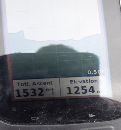
The road summits at 1,250m, & I was reminded of the touristic nature of the plateau (& Norway,s south in general) when I found a cafe - none of the passes in the north have this luxury! I was grateful for another coffee, of course.
My highest cycle in Norway
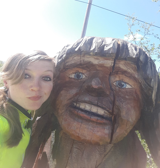
Made another friend! She wasn't much of a talker though
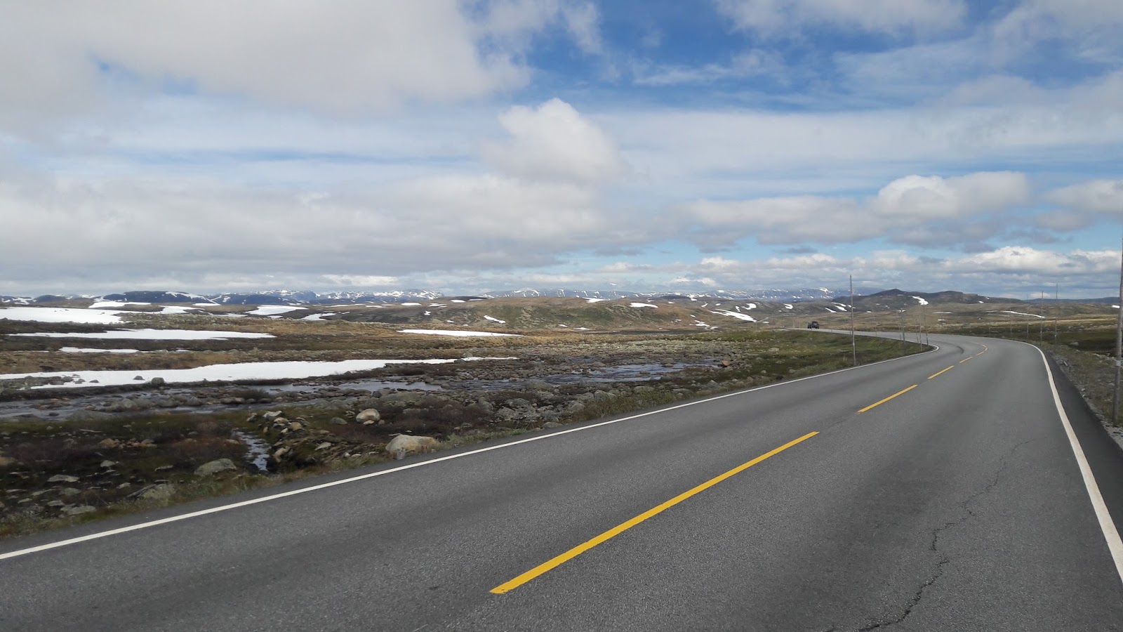
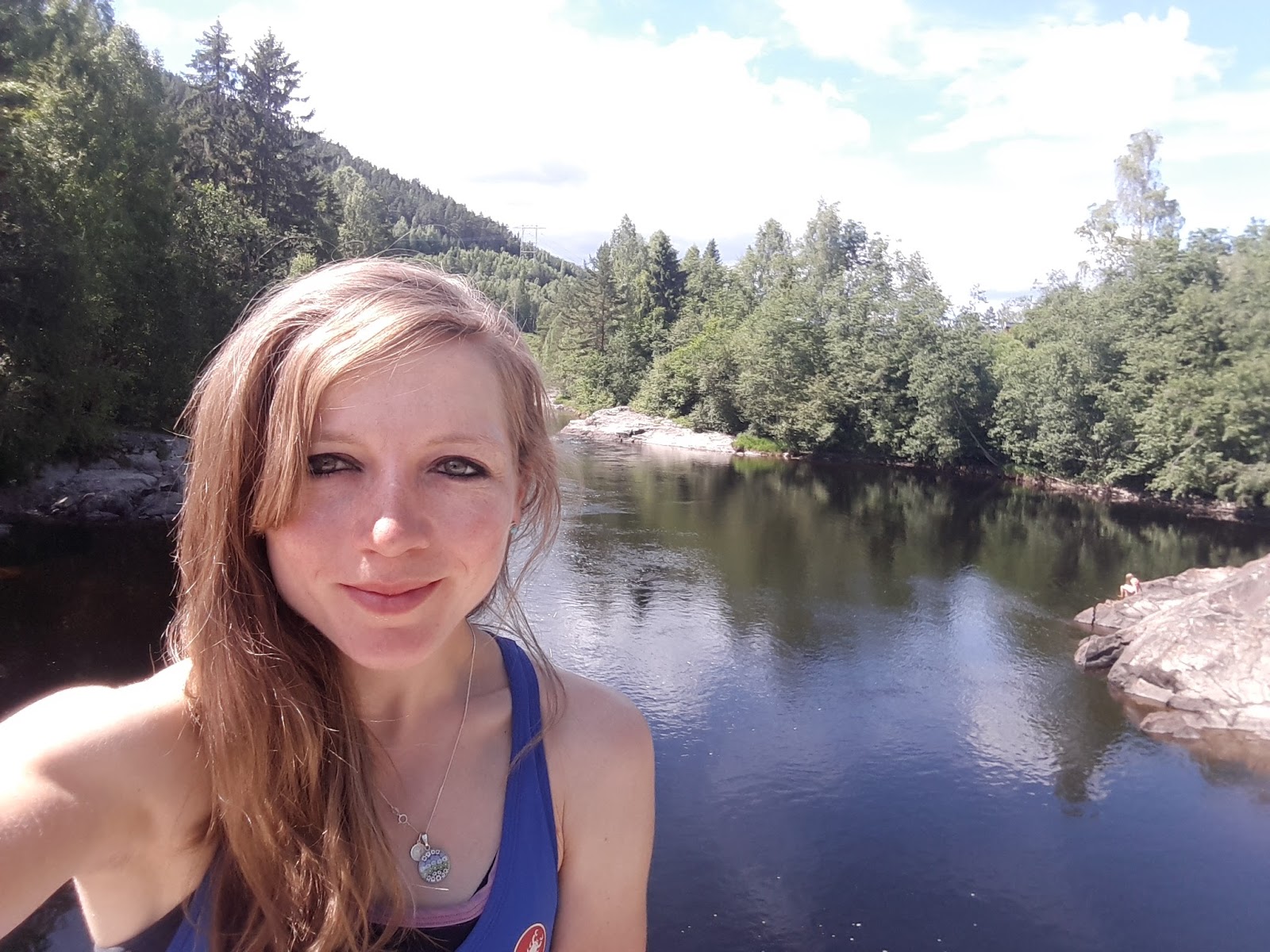
It really is a vast expanse, as you don't leave 1000m of height until just before the town of Geilo. From here a beautiful downhill ride to Gol, where I felt brilliant with my early ish arrival of 7pm, wow!
Sun came out, & I had a stunning descent to Gol. Perfect.
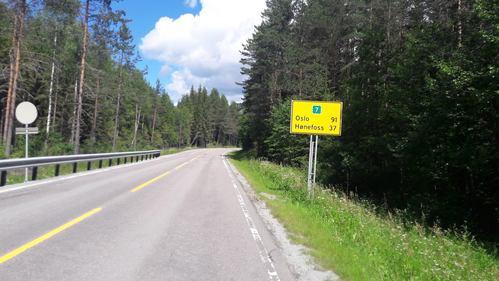
Gol to Oslo
Day 26 of riding | 125 miles | 201 km | Ascent: 1,212 metres
Big milestone - reaching the capital & my last major stop in Norway
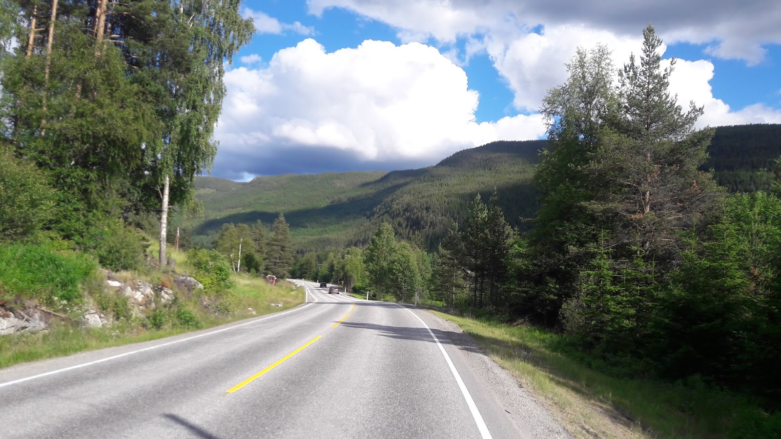
The hazy, beautiful road to Oslo
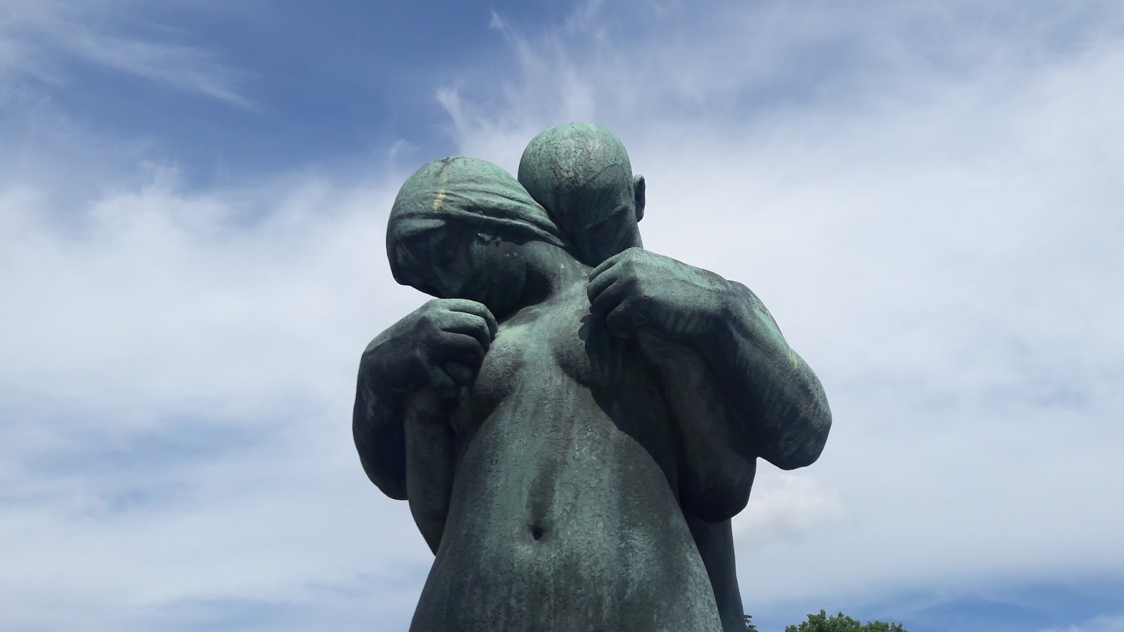
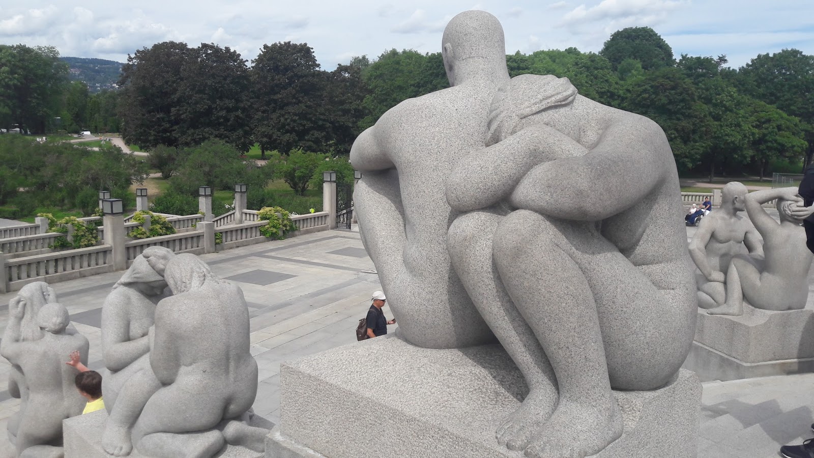
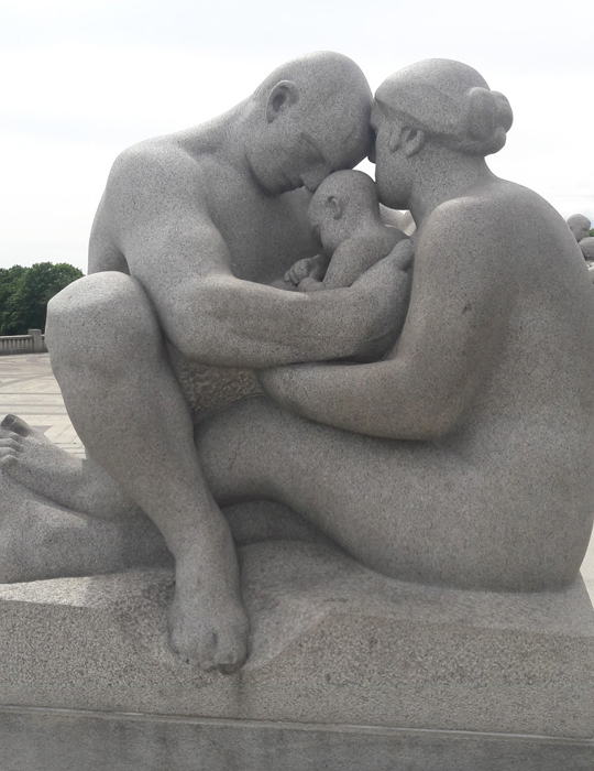
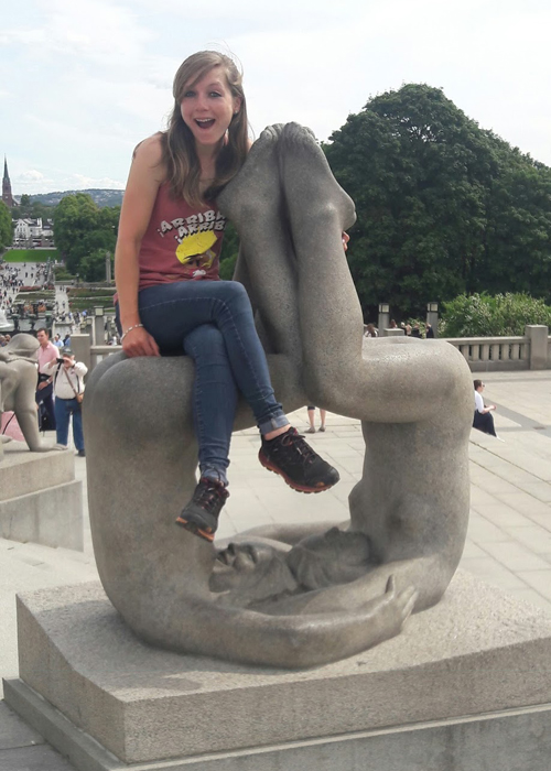
Vigelspark, Oslo
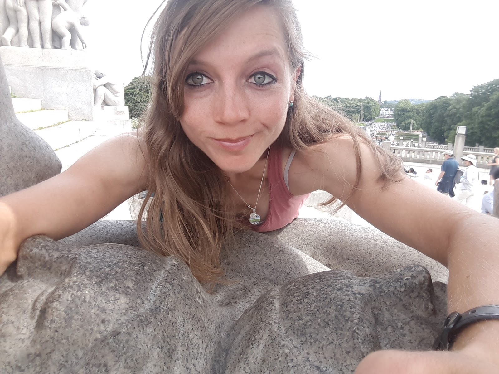
Hanging out amongst the statues
In order to raise the morale, & to not arrive late with my hosts in Oslo, another 5am start was in order! I'd heard traffic would be nasty along my route too.
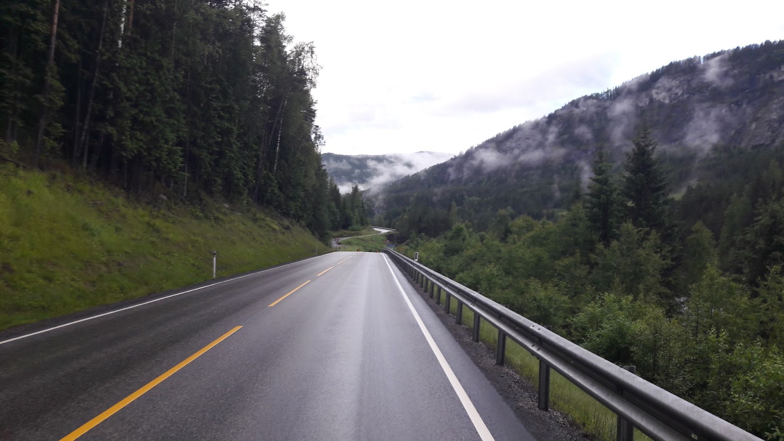
Wow, what a stunning morning. The '7' road goes through Hallingdalselva valley, which at this time of day, & in the 6 degrees & rain, was totally beautiful. Dark green forests over the hills were slowly being revealed by the misty hanging clouds.
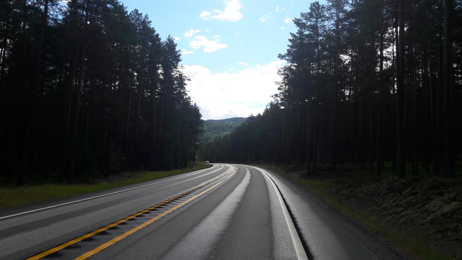
The roads were also incredibly quiet, so even on this main route to Oslo, the nature & multiple lakeside scenes were very peaceful. It seemed quite paradoxical that I was riding to a Ministry of Sound album (ha!), but well, spirits were definitely high!
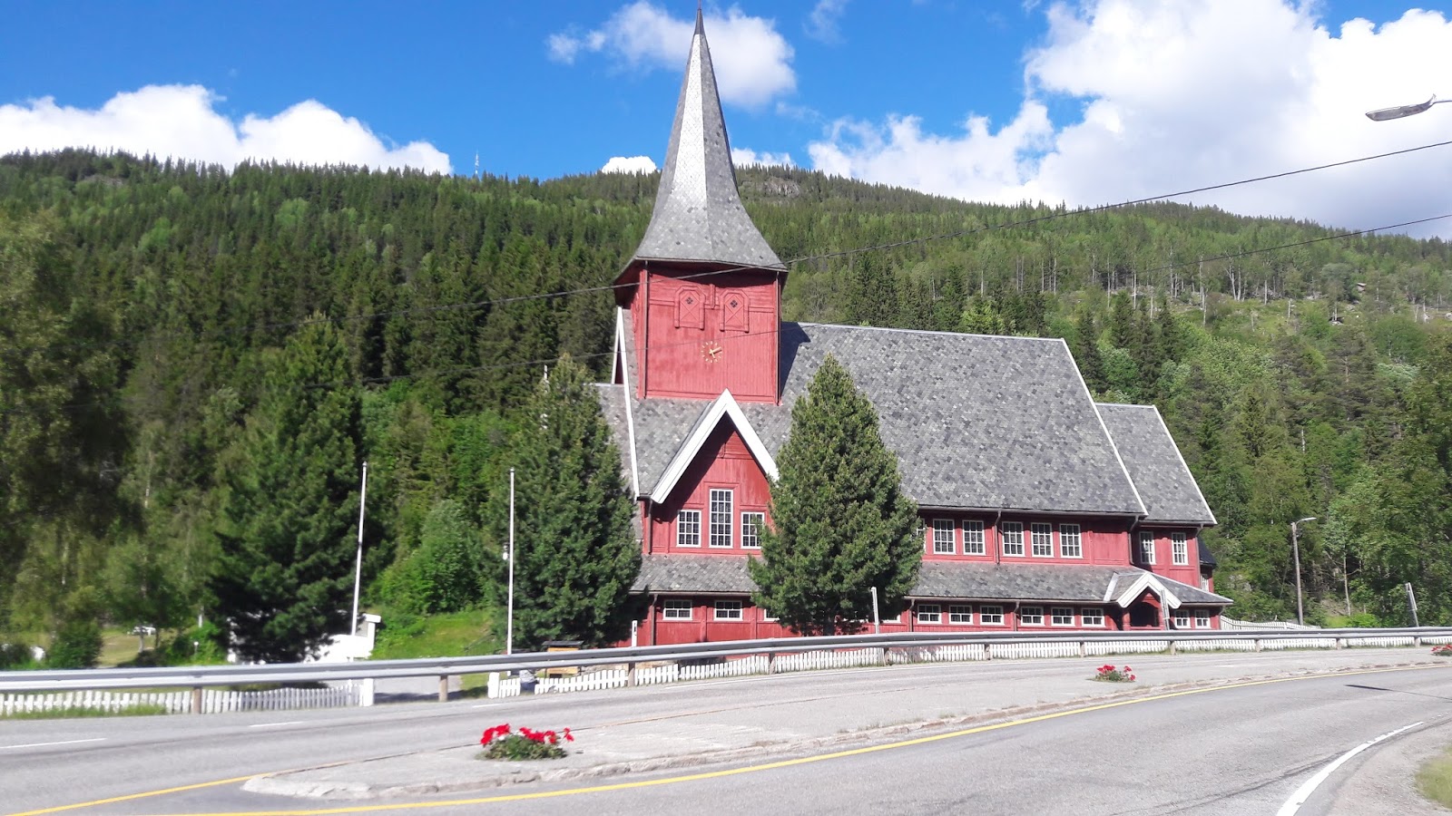
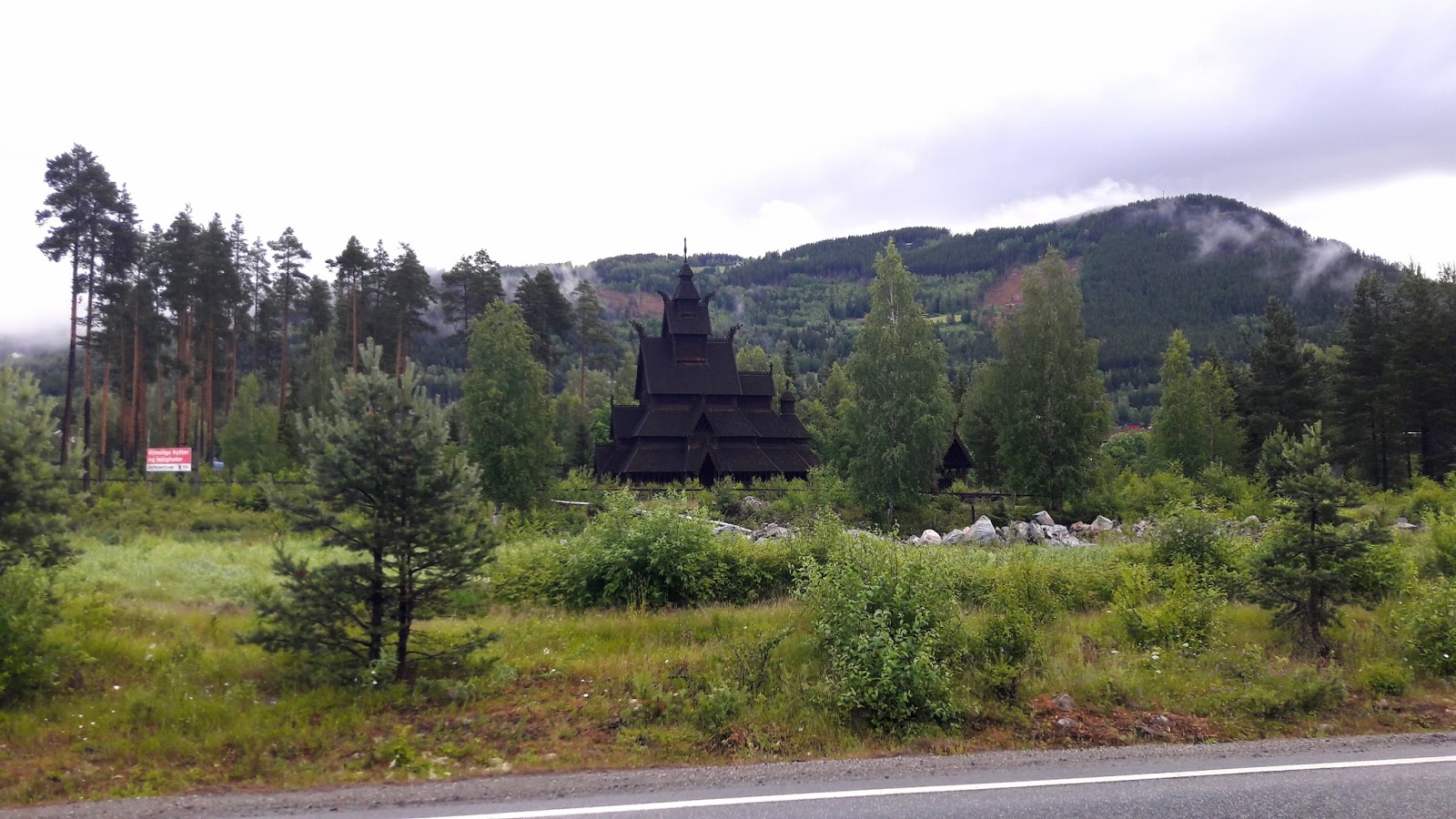
Interesting gothic wooden building
Not far now, eek!
By midday the sun was glaring with all its glory & warming the air to 27 degrees! The variation here is so extreme. I could afford myself time for lots of sun lotion & stopping for snacks/water, every 20-30 miles.
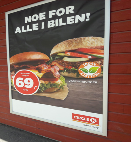
I have only seen veggie burgers in the south
Short break by a sunny river
At 'Fla', the reality of leaving peaceful wild Norway hit as I had to wait to use a toilet (no, that doesn't happen often!), & a queue formed of about 20 women all from a japenese tour bus. It's always the women! I had to calm myself when getting frustrated at waiting for things, like food or the toilet. Because my days are getting longer with increased mileage, I barely have time for anything but sleeping & riding, but I can't let myself become an angry & obsessive endurance athlete, getting very upset if I'm losing time which is unscheduled or out of my control - which I imagine can happen quite quickly to people, doing these sorts of things.
Not sure what that involves...but i want a raspberry one!
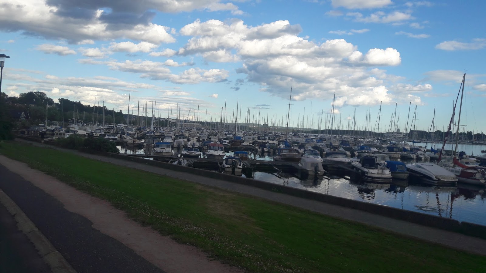
Steinsfjorden - Oslo's outskirts
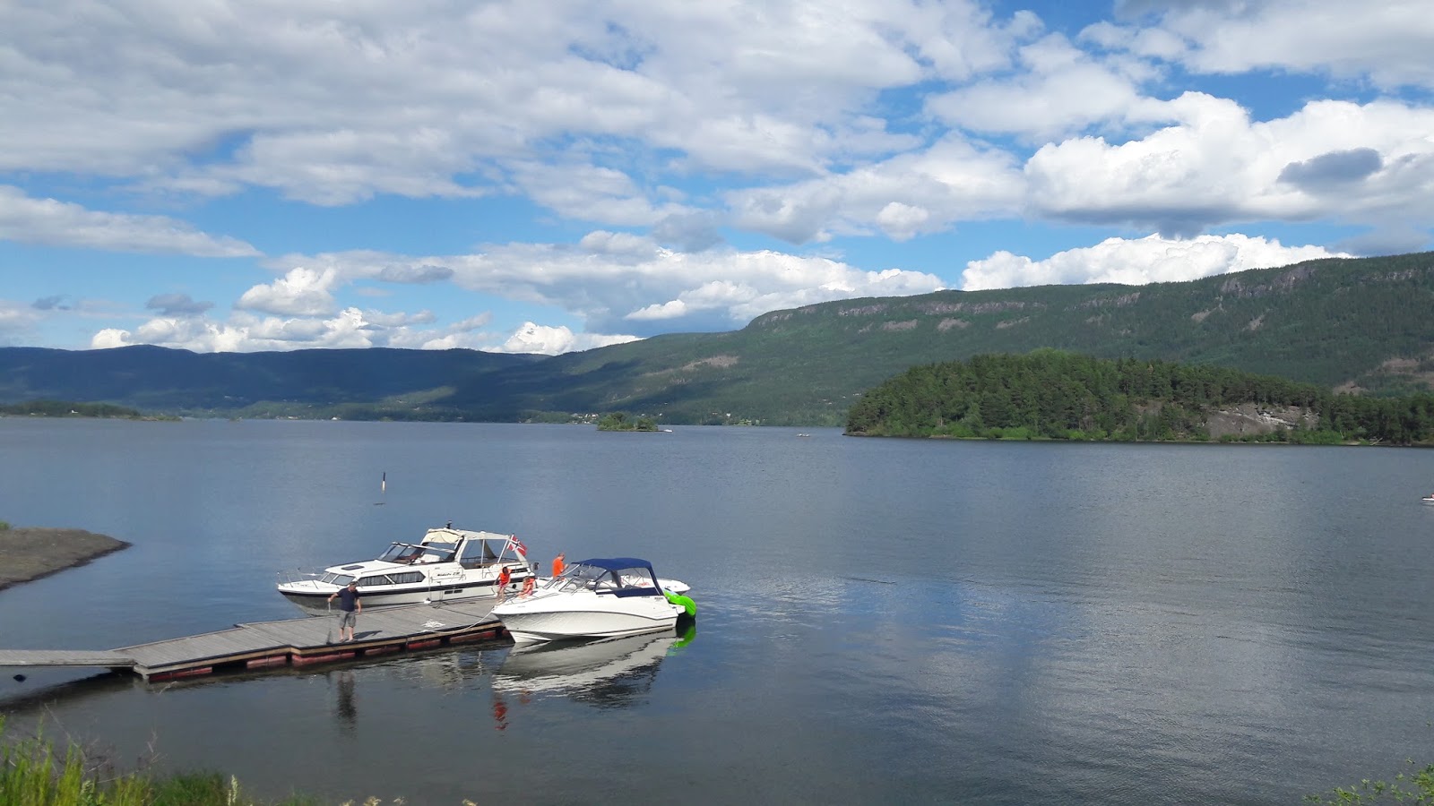
Too many people have boats here...
Once the major towns/suburbs arrived, things got quite difficult. Most of the main E road would display my most hated sign (illegal for cyclists), & so you'd be directed off in another direction. Mostly far away & down some ridiculous hill, obviously just to do a loop & go back up again. Thanks for that, road planners.
In Sandvika, near Oslo, after multiple attempts to find a way through & ending up on busy illegal roads, I finally found a well-marked cycle route, which takes you quite easily the last 9 miles into Oslo. Woo!
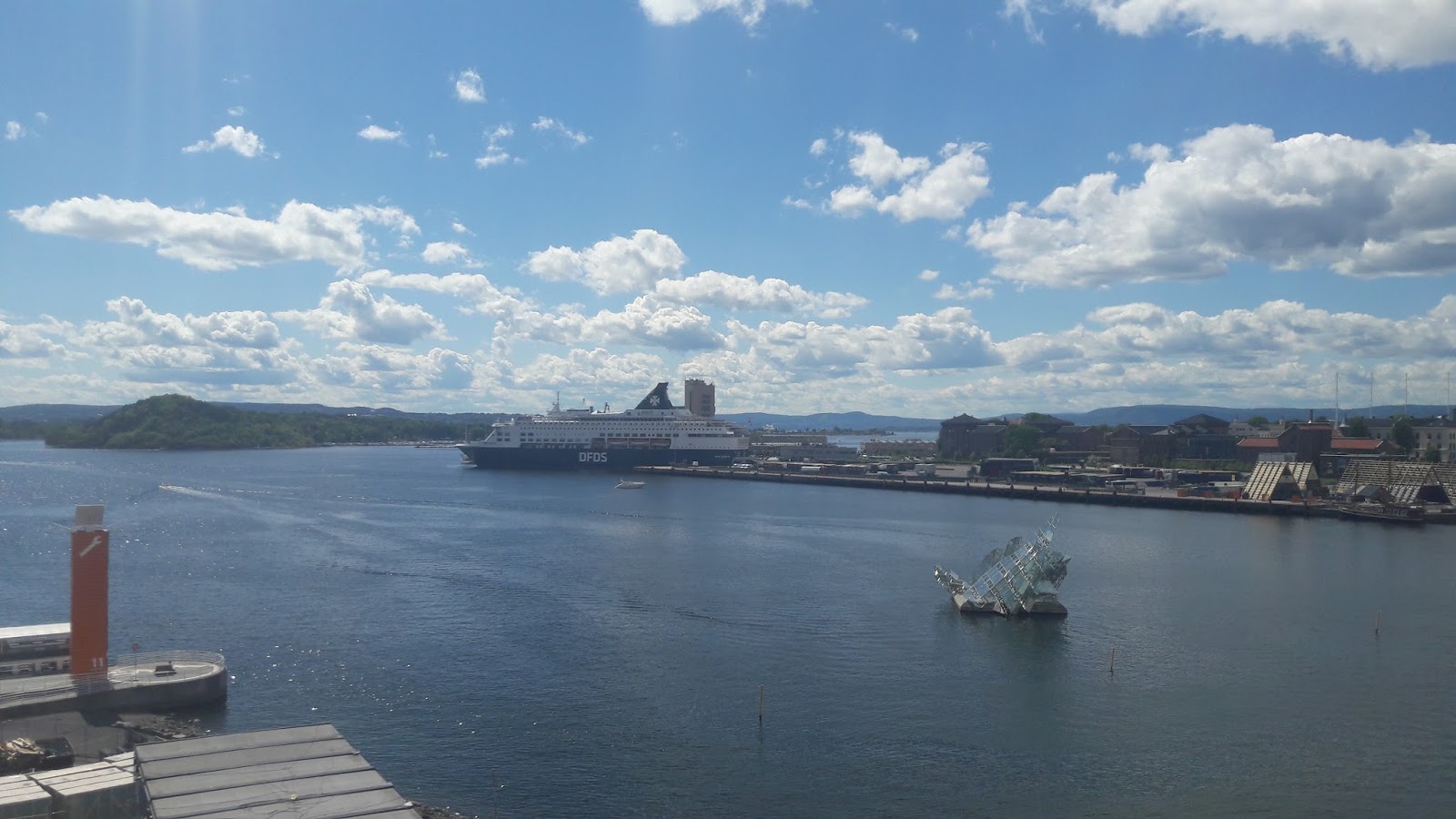
View from opera house
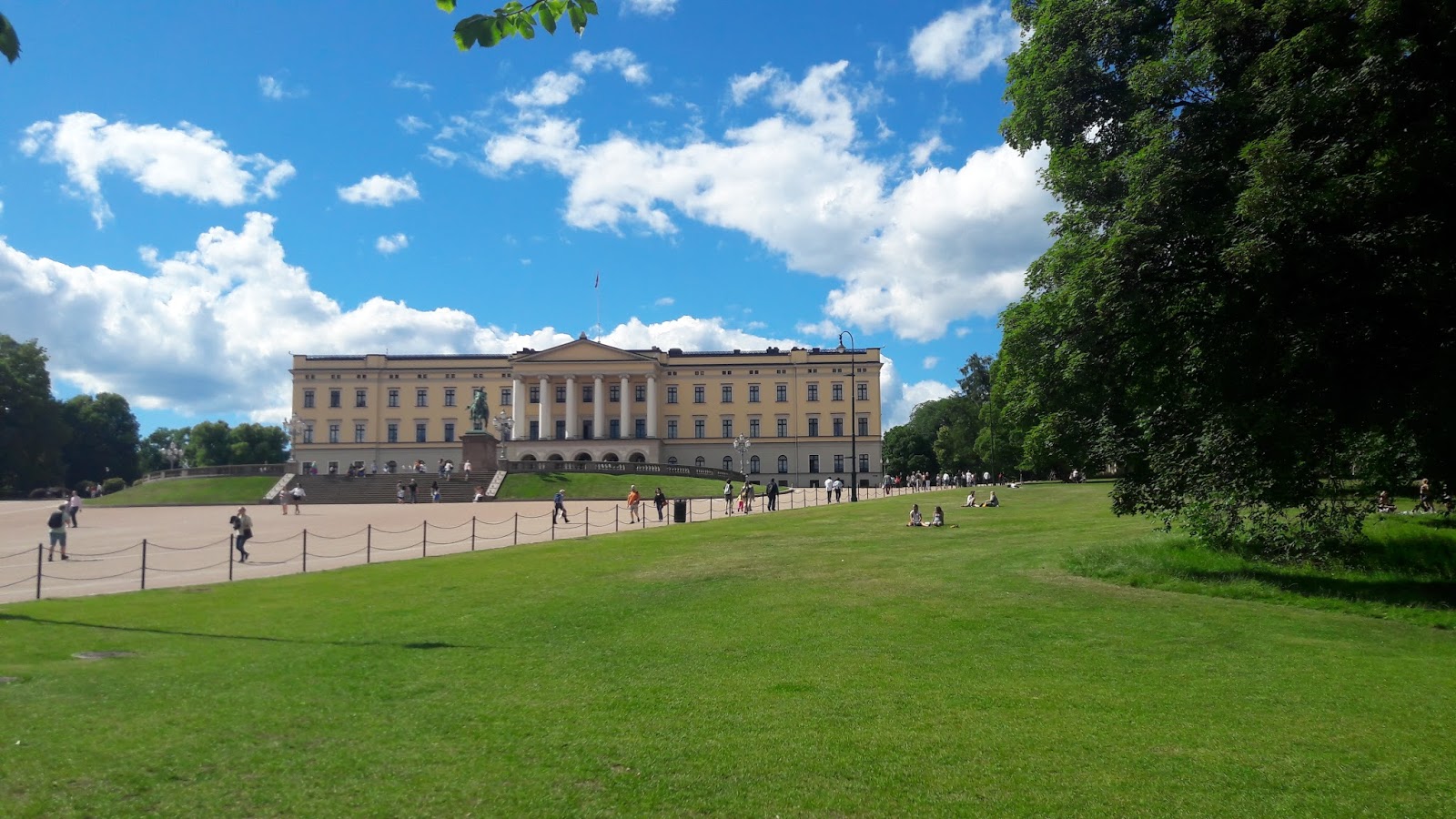
The palace
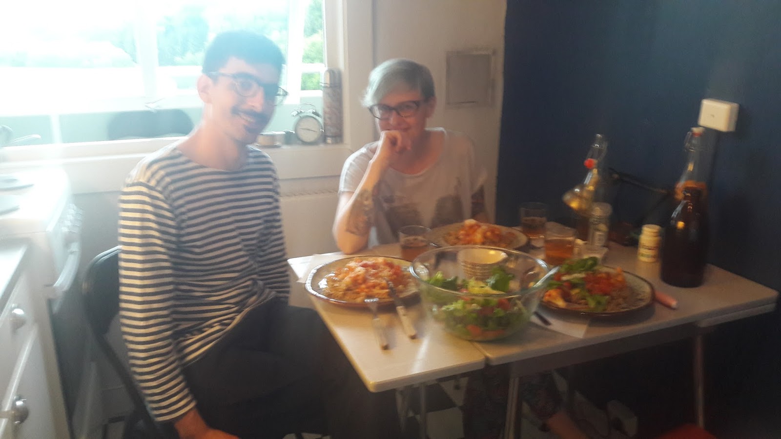
Here I was to stay with two lovely people, via the website 'warmshowers', where local cycle tourers will host you for free. Marta & Jean-Nicolas ended up here after their own 6 month cycle adventure, & are very experienced & welcoming hosts. It's generosity & care for strangers which I couldn't believe exists, what a wonderful community cycle touring is.
Dinner with Marta & Jean-Nicolas
REST OSLO
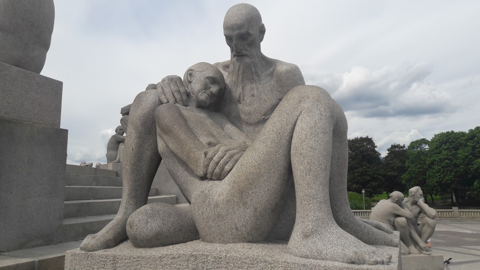
After running errands, sleeping & blogging. I walked the city a bit too much (my legs actually ached, oh dear!), and thoroughly enjoyed their park of statues "Vigelspark", where the display of human emotion & interaction really captured me.
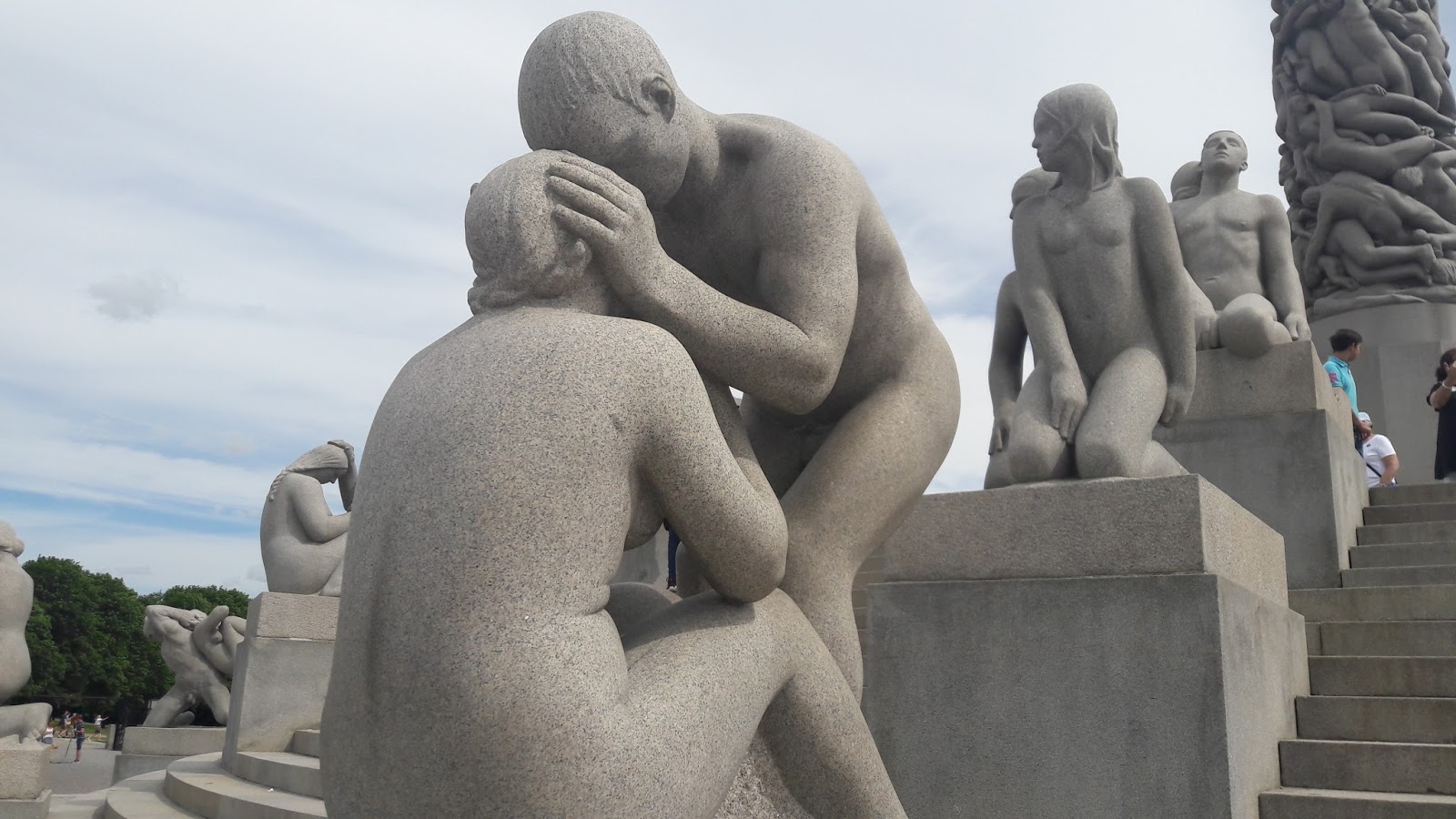
Ruining the somber mood, sorry
TOTALS
Distance: 2,349 miles
Ascent: 36,518 metres
Ride days: 26
Thanks for your interest!
www.alaina.org.uk - please help support aid in Syria if you can, thank you.
Alaina Beacall
Return to Arctic-to-Med Blog contents Return to Blog Main PageArctic-to-the-Med Blog
- Arctic-to-the-Med Blog Main Page
- Training beforehand24th April 2017
- BBC Radio Interview18th May 2017
- Day Zero31st May 2017
- Day 1: Setting Off From Nordkapp31st May 2017
- To Olderfjord, Norway1st June 2017
- To Alta, Norway2nd June 2017
- To Storslett, Norway3rd June 2017
- To Tromsø, Norway4th June 2017
- To Andenes5th June 2017
- Watching The Whales6th June 2017
- To Stokmarknes7th June 2017
- To Valberg, Lofoten8th June 2017
- To Å i Lofoten9th June 2017
- To Krokstranda10th June 2017
- To Mosjøen11th June 2017
- To Namsskogan12th June 2017
- To Steinkjer13th June 2017
- To Trondheim14th June 2017
- Exploring Trondheim15th June 2017
- To Kristiansund17th June 2017
- Easy days, Troll's path, & Geirangerfjord26th June 2017
- Waterfalls, no sleep, & Norway's Amalfi coast6th July 2017
- To Oslo: Hardangervidda & finishing Norway9th July 2017
- Swedish Riviera8th July 2017
- Swedish Riviera Part 211th July 2017
- Copenhagen & Zealand14th July 2017
- Deutschland Part 122nd July 2017
- Frankfurt, Stormy Days Alone26th July 2017
- Deutschland Part 331st July 2017
- Chiemsee To Vienna5th August 2017
- Vienna To Budapest8th August 2017
- Budapest To Zagreb12th August 2017
- The Finale : Zagreb To The Coast16th August 2017
Make a money donation